

Visit live site
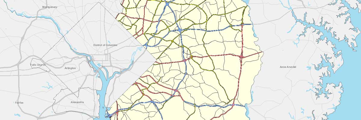
Redesign of PGAtlas.com, a web based GIS tool used by staff and REALTORS for Prince George County, Maryland. Site was brought up to modern standards including ArcServer 9.3, ESRI JavaScript API, custom web services in asp.net, an AJAX based front-end and an improved user interface.